
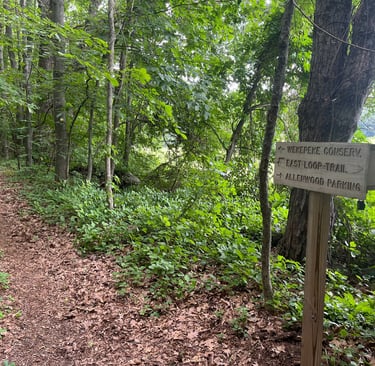
Allenwood Parcel
0.00 miles: Trailhead and kiosk
0.04 miles: Crossing stone wall
0.06 miles: Left turn, paralleling stone wall and forest boundary
0.20 miles: Trail junction marked by a wooden post; make right hand turn;
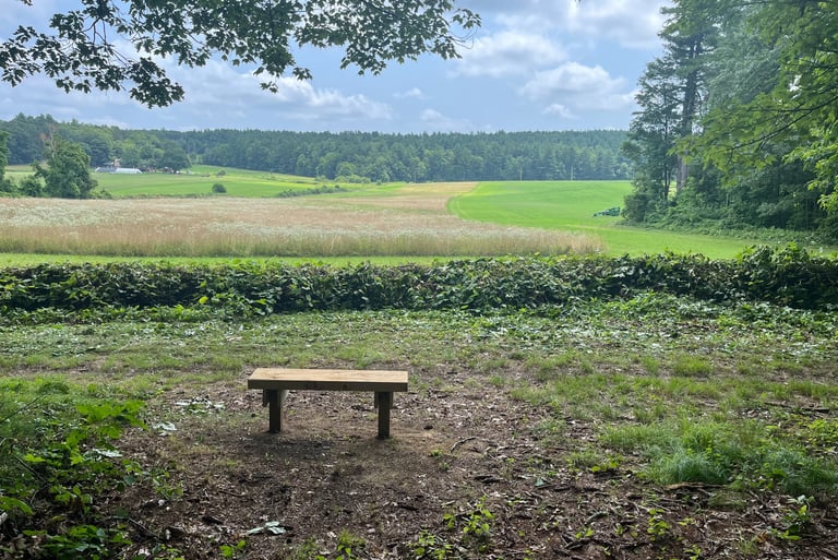
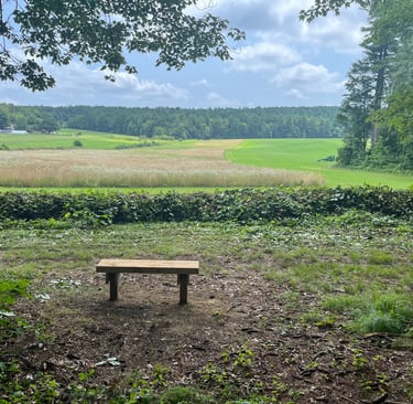
0.22 miles: Open view towards the Crystal Brook Farm and fields
0.28 miles: Stone in memory of Charles Allen 0.35 miles: Wooden post at the right side of the trail
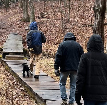
0.39 miles: Continue straight where faint trail goes off to the left
0.43 miles: Bridge across wetland and a small stream. Trail continue uphill and slightly to the right
0.46 miles: Trail ends at junction with larger forest road; turn left. Note short side trail to the right goes to vista point.
0.55 miles: Keep left at trail junction, identified with a cluster of trees in the middle. Trail becomes narrower
0.65 miles: View out over Upper Lynde Basin
0.77 miles: Follow side trail that goes along the edge of Lower Lynde Basin
0.91 miles: Trail makes a moderately sharp turn to the right, away from the basin
1.01 miles: Trail junction. Continue on large trail to the right. Observe spillway from lower Lynde Basin
1.12 miles: Gatehouse #4 to the left controlled water flow from the settling basin into Spring Basin. Continue straight, note the Spring Basin on the right
1.24 miles: Path comes in from the right, leading to Gatehouse #5. In late May, flowering trilliums can be found in this area
1.30 miles: Trail re-enters a wooded area and 0.1 mi later turns left in front of Gatehouse #7, the chlorination station for the Clinton Waterworks
1.43 miles: Side trail from left, continue straight. At the next trail junction, continue on smaller trail straight ahead. Ignore wider trail turning left and uphill
1.51 miles: Trail junction with side trail to the left, after a short and moderately steep downhill. Continue straight, followed by curve to the right
3.09 miles: Steep section of the trail, with some erosion. In 0.2 of mile, at trail junction take a right turn onto a larger road, continuing downhill
3.40 miles: Slight left turn at trail junction to continue on wide side trail
3.47 miles: Beginning of a fairly long downhill section of the trail followed by a small vernal pool on the left.
3.70 miles: At the curve of the path, turn left onto small side trail, to return to the Allenwood trailhead. Note that junction is located next to side trail with views over farmland
4.17 miles: Return to trailhead
In 2001, The Trust received a very generous gift of 19 acres of forest land, from Charles E. Allen, and includes a small house at 43 Heywood Rd. The land is known as the “Allenwood Parcel” and has a marked trail where views of the Wekepeke reservoir basin can be seen as well as the agricultural lands of Maplebook Farm and Crystal Brook Farm on Tuttle Rd. Mr. Allen also included an endowment to cover the costs of maintaining the property. This conservation area comprises a significant portion of the 1000+ acre assemblage which includes Sterling Land Trust, Wekepeke land for which the Division of Fish and Wildlife holds a conservation restriction with the town of Clinton, town conservation land, and privately held lands under the agricultural preservation restriction program. These trails extend easterly through the Poor Farm Conservation Area to North Row Rd.
More Information
https://www.sterling-ma.gov/sites/g/files/vyhlif1266/f/uploads/allenwood_trail_0.pdf
History
Trail Information

Sterling Land Trust
Keeping Sterling Green Since 1998
Contact Us
Stay updated on SLT news and events!
slt@sterlinglandtrust.org
© 2025. All rights reserved.
Mailing Address
P.O. Box 106
Sterling, MA 01564